
Traveling through fog, darkness, or heavy weather demands more than intuition—it requires systematic navigation skills that keep you on track when visibility drops to near zero.
🧭 Why Waypoint Navigation Becomes Your Lifeline in Low Visibility
When environmental conditions deteriorate and landmarks disappear into mist or darkness, waypoint navigation transforms from a convenience into an essential survival skill. Whether you’re hiking through mountain fog, sailing in coastal conditions, or driving through whiteout snow, understanding how to plot, follow, and adjust waypoints can mean the difference between reaching your destination safely and becoming disoriented in dangerous terrain.
Low-visibility travel strips away the natural cues we typically rely on for navigation. That distinctive rock formation, the distant mountain peak, or the roadside marker all vanish when visibility drops below 50 meters. In these conditions, your navigation strategy must shift from visual confirmation to systematic position tracking using predetermined reference points—your waypoints.
Understanding the Fundamentals of Waypoint-Based Navigation
A waypoint represents a specific geographic coordinate that serves as a reference point along your intended route. Think of waypoints as digital breadcrumbs that guide you from your starting location to your final destination, with strategic stops that help you verify your position throughout the journey.
The concept originated in maritime and aviation navigation, where pilots and captains needed reliable methods to traverse vast, featureless expanses. Today, GPS technology has democratized waypoint navigation, making these professional techniques accessible to anyone with a smartphone or dedicated GPS device.
The Core Components of Effective Waypoint Planning
Successful waypoint navigation requires three fundamental elements working in harmony. First, you need accurate coordinate data for each waypoint along your route. Second, you must have reliable tools to track your current position relative to these waypoints. Third, you need the skills to interpret this information and make real-time navigation decisions.
Modern GPS receivers provide accuracy within 5-10 meters under normal conditions, which proves sufficient for most low-visibility navigation scenarios. However, understanding the limitations of your equipment becomes crucial when stakes are high and visibility is minimal.
🗺️ Strategic Waypoint Placement for Maximum Safety
The art of waypoint navigation lies not just in following coordinates, but in choosing where to place those waypoints strategically. Poor waypoint placement can lead you into hazards, while thoughtful positioning creates a safety net that guides you around dangers even when you cannot see them.
When planning your route in advance, place waypoints at decision points where you need to change direction or make navigation choices. Critical intersections, trail junctions, and course corrections all deserve dedicated waypoints. Additionally, position waypoints before potential hazards like cliff edges, water crossings, or areas with limited cell coverage.
Spacing Waypoints According to Terrain and Conditions
The distance between waypoints should reflect both the complexity of the terrain and the severity of visibility conditions you anticipate. In open, relatively flat terrain with good GPS reception, waypoints can be spaced 500 meters to 1 kilometer apart. However, in complex mountain terrain, dense forests, or urban environments with tall buildings, reduce spacing to 100-300 meters.
For backcountry hiking in potential low-visibility conditions, place waypoints every 200-400 meters along your planned route. This density ensures that even if you drift slightly off course, you’ll recognize the error before traveling too far in the wrong direction.
Essential Tools for Modern Waypoint Navigation
While professional-grade GPS units offer robust features and long battery life, modern smartphones have become surprisingly capable navigation tools when properly configured. The key lies in selecting the right applications and understanding their strengths and limitations.
Dedicated GPS apps designed for outdoor navigation offer offline map storage, track recording, and waypoint management that exceeds the capabilities of standard mapping applications. These specialized tools download map data in advance, ensuring functionality when cellular service disappears—a common occurrence in remote areas where low-visibility travel becomes most challenging.
Backup Systems: Never Rely on Single-Point Technology
Electronics fail, batteries die, and GPS satellites occasionally lose signal. Competent navigation in low-visibility conditions demands redundancy. Carry at least two independent navigation systems—perhaps a smartphone with a dedicated GPS app plus a handheld GPS unit, or a smartphone paired with traditional map and compass skills.
Print or photograph your waypoint list with coordinates before departure. This analog backup allows you to manually enter waypoints into a replacement device if your primary system fails. Include bearing and distance information between consecutive waypoints, enabling dead-reckoning navigation using just a compass if GPS becomes unavailable.
⚡ Real-Time Navigation Techniques in Zero Visibility
When fog rolls in or darkness falls and visibility collapses, your preparation transforms into practical application. The following techniques help you maintain orientation and make steady progress even when you cannot see beyond a few meters.
Begin by confirming your current position matches your expected location. Before visibility deteriorates, take a GPS reading at a known landmark and verify it matches your map. This confirmation establishes baseline accuracy for your navigation system and builds confidence in your equipment.
The Bracket Technique for Course Correction
As you travel toward a waypoint, your GPS displays both the direction (bearing) to your target and your current movement direction. The difference between these two values reveals whether you’re drifting off course. In low visibility, check this information every 1-2 minutes rather than relying on visual confirmation.
When you notice deviation from your intended bearing, resist the temptation to make large, immediate corrections. Instead, adjust your heading by 10-20 degrees toward the desired bearing and monitor whether the gap closes. This bracket technique prevents overcorrection that can send you zigzagging off course.
Pace Counting as Confirmation
GPS technology provides remarkable accuracy, but savvy navigators verify electronic data with traditional techniques. Pace counting—tracking the number of steps required to cover known distances—offers independent confirmation that you’ve traveled the expected distance between waypoints.
Determine your personal pace count by walking a measured 100-meter distance several times and calculating the average number of steps required. Most adults take between 60-70 steps per 100 meters on flat terrain, though this varies with height, fitness, and load carried. In low-visibility conditions, count paces between waypoints and compare this field measurement against GPS distance readings.
🌫️ Specific Strategies for Different Low-Visibility Environments
While core waypoint navigation principles remain consistent across environments, each setting presents unique challenges that demand adapted techniques.
Mountain and Alpine Navigation in Cloud and Fog
Mountain environments combine challenging terrain with rapidly changing weather that can reduce visibility to mere meters within minutes. In these conditions, elevation becomes an additional navigation parameter alongside horizontal position.
Include altitude information for each waypoint in mountainous terrain. Modern GPS units and smartphone apps display current elevation, allowing you to verify you’re not just near your waypoint horizontally but also at the correct altitude. This prevents dangerous errors like attempting to traverse across steep slopes above or below your intended route.
When navigating mountain ridgelines in fog, place waypoints conservatively away from cliff edges and cornices. What appears as a gentle ridge in clear conditions may harbor unseen drops just meters away when visibility collapses. Plan routes that favor the safer side of ridges, and establish waypoints that keep you well back from known hazards.
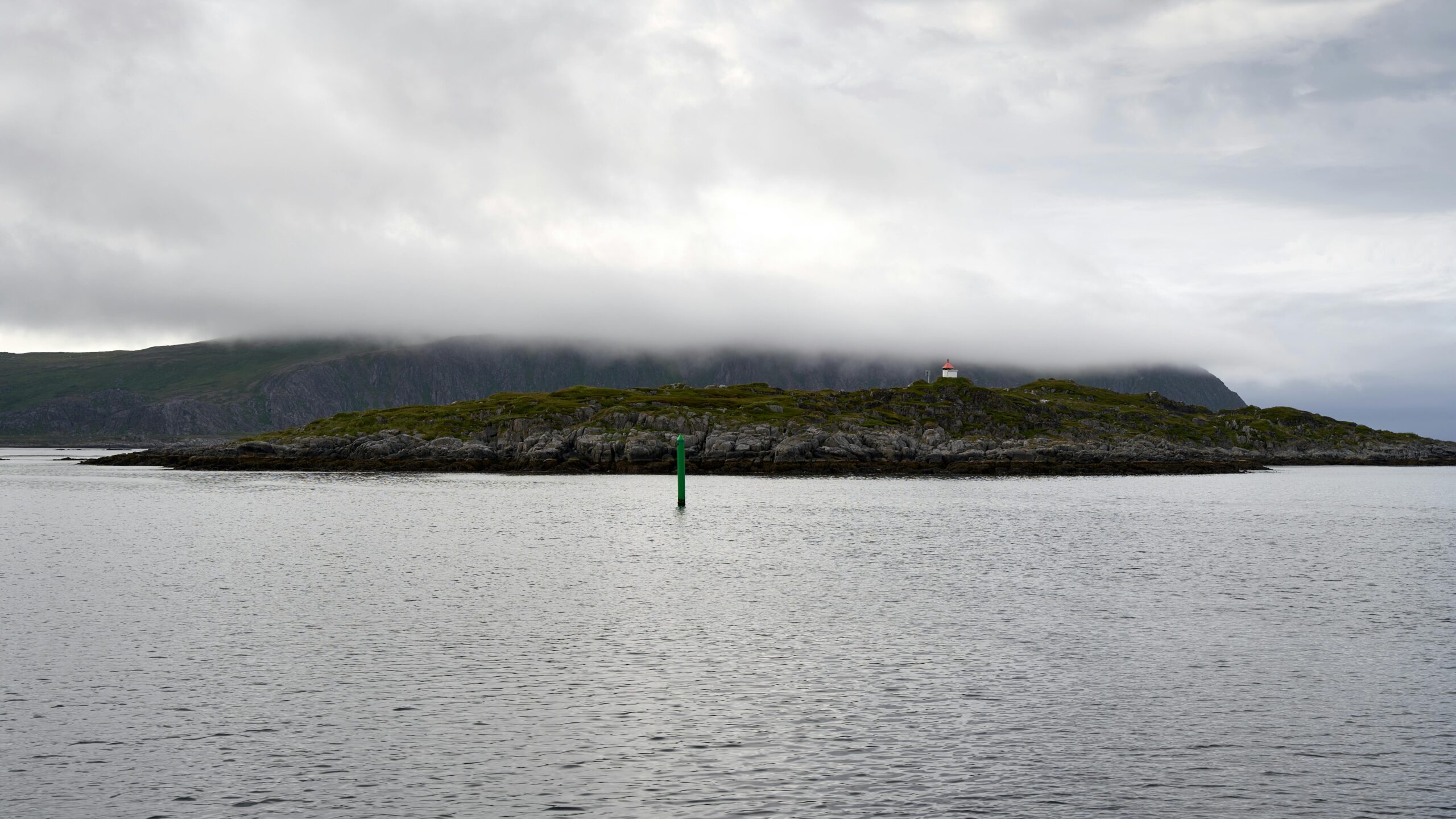
Marine Navigation Through Weather and Darkness
Waterborne navigation removes the immediate obstacle concerns of land travel but introduces current and wind drift that can push you significantly off course. When visibility drops at sea, waypoint strategies must account for these forces.
Marine waypoints should include not just destination coordinates but also approach angles that consider current, wind, and navigation hazards. Create waypoints that guide you around shallow areas, reefs, and other vessels even when you cannot see these obstacles. Increase your waypoint density near harbors, channels, and congested areas where the consequences of navigation error escalate.
Most marine navigation apps include AIS (Automatic Identification System) data showing other vessels’ positions and movements. In low visibility, this information becomes crucial for collision avoidance, supplementing waypoint navigation with real-time awareness of other traffic.
Desert and Snow: When Everything Looks the Same
Deserts in dust storms and snowfields in whiteout conditions share a common challenge—complete lack of visual features combined with terrain that looks identical in every direction. These environments demand absolute reliance on waypoint navigation since confirming your position through visual cues becomes impossible.
In featureless terrain, reduce waypoint spacing to 100-200 meters and check your GPS every few minutes. The monotonous environment makes it easy to drift off course without noticing, and the lack of landmarks means you cannot catch errors through visual observation.
Create safety waypoints perpendicular to your route at regular intervals. If you become disoriented and cannot determine whether you’re ahead or behind your planned position, navigating to these offset waypoints brings you back to a known location from which you can reestablish your proper route.
📱 Advanced GPS Features That Enhance Low-Visibility Safety
Modern GPS technology offers sophisticated features beyond basic waypoint navigation. Understanding and utilizing these capabilities significantly improves safety and efficiency during low-visibility travel.
Track Recording and Breadcrumb Trails
GPS track recording creates a continuous log of your exact path, displaying your actual route as a line on the map. This track serves as an electronic breadcrumb trail, showing precisely where you’ve been and enabling precise backtracking if conditions deteriorate beyond your ability to continue forward safely.
Activate track recording at the start of any journey where low visibility might develop. The negligible battery cost provides enormous value if you need to retreat along your exact incoming route. Many GPS apps allow you to convert your recorded track into a new route with automatically generated waypoints, effectively creating a reverse course that guides you back to your starting point.
Proximity Alerts and Arrival Notifications
Configure your GPS device or app to alert you when approaching waypoints. These proximity alerts provide notification at a preset distance—typically 50-100 meters before reaching each waypoint—giving you time to prepare for navigation decisions or course changes.
Arrival alerts confirm when you’ve reached a waypoint, providing reassurance that you’re following your planned route correctly. In low visibility, these confirmations build confidence and help maintain accurate mental awareness of your progress along the route.
🔋 Power Management for Extended Low-Visibility Navigation
GPS reception and active screen display drain smartphone batteries quickly. A dead phone cannot guide you home, making power management a critical navigation skill during extended low-visibility travel.
Reduce screen brightness to the minimum usable level and enable battery-saver modes that limit background processes. Consider carrying external battery packs sized to fully recharge your device at least once, preferably twice. In cold conditions, keep batteries warm against your body, as cold temperatures significantly reduce battery performance.
Develop a rhythm of checking your GPS at regular intervals rather than leaving the screen continuously active. Every 5-10 minutes, wake your device, confirm your position and bearing, make any necessary course corrections, then return the device to sleep mode. This intermittent use dramatically extends battery life while maintaining adequate navigation awareness.
Training Yourself for High-Stress Navigation Decisions
The best waypoint strategies and most sophisticated equipment cannot compensate for panicked decision-making when visibility collapses and stress rises. Competent low-visibility navigation requires mental preparation and practiced skills that remain accessible under pressure.
Practice waypoint navigation in good conditions first, familiarizing yourself with your GPS equipment and navigation apps before stakes become serious. Create practice routes in local parks or familiar areas, then navigate these routes using only GPS guidance while deliberately avoiding familiar visual landmarks.
Decision Points: When to Continue and When to Stop
Perhaps the most critical navigation skill involves recognizing when conditions exceed your abilities and equipment. Establishing clear decision criteria before departing prevents rationalization and mission-focus bias from leading you into dangerous situations.
Define specific conditions that will trigger retreat or shelter-in-place decisions. These might include visibility dropping below 20 meters in mountainous terrain, GPS accuracy degrading beyond 30 meters, or battery levels falling below 40% when you’re less than halfway through your planned route. Writing these criteria down and reviewing them before departure creates a decision framework you can reference when judgment becomes clouded by stress or fatigue.
🎯 Putting It All Together: A Pre-Trip Navigation Checklist
Successful low-visibility navigation begins long before visibility deteriorates. Use this comprehensive checklist to ensure readiness for challenging navigation conditions:
- Route planned with waypoints spaced appropriately for terrain complexity
- Waypoints entered into primary and backup GPS devices
- Offline maps downloaded covering entire route plus surrounding area
- Printed waypoint list with coordinates, bearings, and distances
- Devices fully charged with external batteries packed
- Track recording configured to activate automatically
- Proximity alerts set for waypoint approach notification
- Decision criteria established for retreat or shelter conditions
- Alternative routes identified if primary route becomes impassable
- Expected travel time calculated with 50% buffer for low-visibility conditions
Moving Forward with Confidence in Any Conditions
Mastering waypoint navigation transforms low-visibility travel from a frightening ordeal into a manageable challenge. The systematic approach of planning routes as connected waypoints, using technology to track your position relative to these points, and applying proven techniques to maintain course creates a reliable framework for safe travel even when you cannot see your destination.
Start developing these skills in controlled environments where mistakes carry minimal consequences. As your competence and confidence grow, gradually increase the complexity of navigation challenges you undertake. With practice, the techniques that initially seem complex become intuitive responses that emerge naturally when conditions deteriorate.
Remember that technology serves as a tool to enhance your navigation capabilities, not replace fundamental skills and judgment. The most sophisticated GPS cannot substitute for careful planning, conservative decision-making, and the wisdom to recognize when conditions exceed your current abilities. By combining modern waypoint technology with traditional navigation principles and sound judgment, you’ll be prepared to travel confidently through low-visibility conditions that would have stopped earlier generations of travelers.
The wilderness, the ocean, and even urban environments in poor weather demand respect and careful preparation. By mastering waypoint strategies and applying them thoughtfully, you equip yourself to navigate safely through conditions that would otherwise force you to remain stationary, waiting for visibility to improve. This capability opens new possibilities for travel and adventure while maintaining the margin of safety that separates confident exploration from reckless risk-taking.